July 17th, 2026
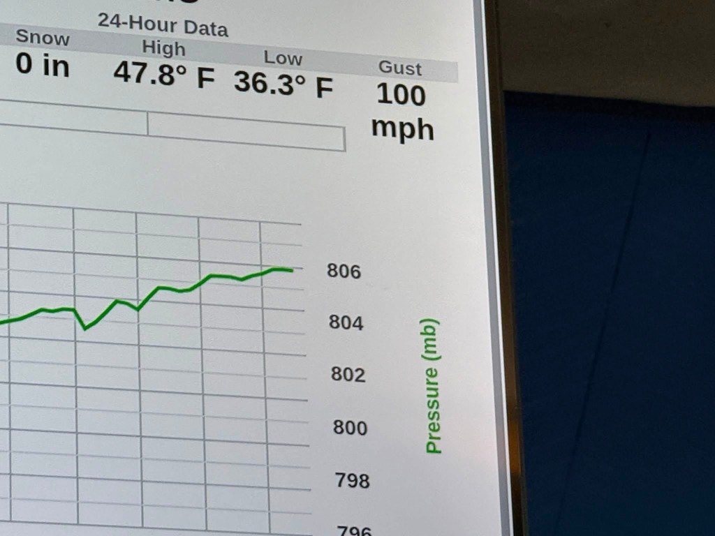
This was easily one of the coolest experiences I’ve ever had. This mountain was my first mountain above 4 thousand feet. Washington is the highest mountain in the northeastern United States standing at 6,288 ft. For a while, I was nervous leading up to it. Despite it not being that high compared to the other mountains in this country, it is considered one of the most dangerous due to the weather near and at the summit. The day I summited Washington with my friend Aaron, the winds at the top were over 100mph. The highest recorded wind speed ever here was 231mph. The reason the winds and weather are so bad here are because of two reasons. It is in what is called a “confluence zone” because it sits where the storm systems of the Atlantic, the Great Lakes, and Canada meet. The mountain range it is in, the White Mountains, funnel moving air upward into a small vertical space. Like when you put your thumb at the end of a hose. The most important thing to do before going up this mountain is being prepared with the right gear.
Gear
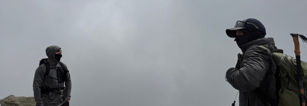
Having layers is very important as you work your way up. Your base layer shirt should be made of polyester or some kind of sweat-wicking material. I had a breathable lululemon polyester tshirt I thrifted. Do NOT wear cotton. Do not… when you sweat in cotton it takes the heat off of your skin and can set you up for hypothermia. The mid layer I would wear something with wool. I have a thin black diamond zip up jacket that is both polyester and part wool. Wool is always a good option because it dries quick if you get wet. For pants I always use my pair of weather proof parachute pants from North Face. I used a pair of North Face hiking boots with wool socks (highly recommend wool socks). For my outer layer I had a waterproof windstopper shell jacket from Karma8a. A wind breaking shell will help you BIG time for the top of the mountain. A wool face cover will help protect your face from the wind chill. My bag I had a 44L Osprey bag with hip support. You will add layers from your bag as you go up the mountain when it gets colder. Trekking poles are your best friend going up and down the mountain. There are some really clunky sections throughout the mountain and the poles will help you stay stable near the top with the winds.
Before you start your Ascent
Mount Washington has a website for their observatory that you should check before going up. The website is https://mountwashington.org it shows you all the different conditions at the top of the mountain.
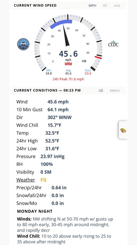
The original day I was going to go the wind chill was really bad so I went up the day after. When I summited, one of the workers at the top told me that the day before when I was originally gonna go, 14 people ended up getting hypothermia. If you decide to come to New Hampshire to summit this mountain I recommend showing up for a few days so that if the weather does get bad you have other opportunities to go. Make sure you check the observatory before going up.
The Ascent
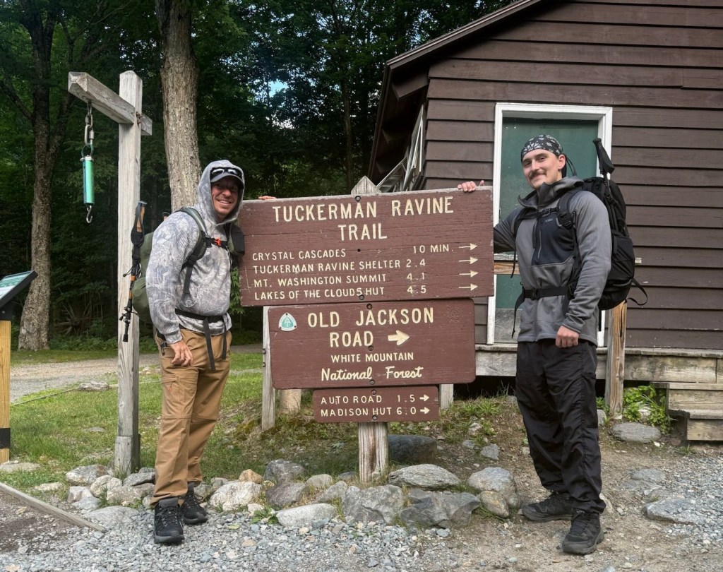
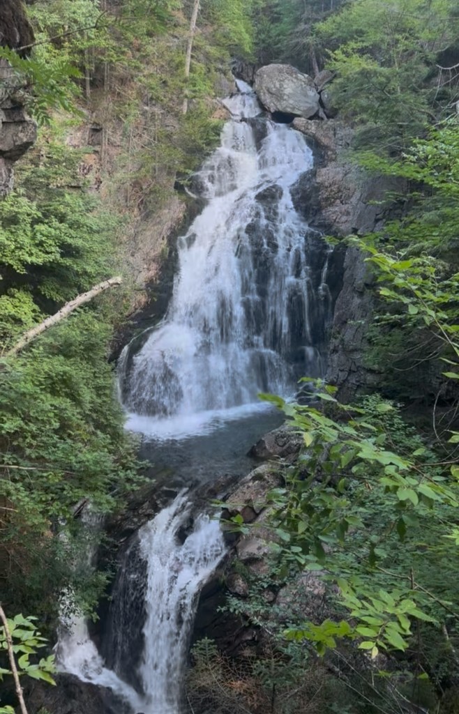
There are a few different trails you can take to the top. We decided to go up Tuckerman Ravine. It is the most popular trail and the safest, in my opinion after researching. The trail, in total going up and back down is 8.89 miles and 4,259 ft of elevation gain. The entrance has a welcome center that has free parking and a few bathrooms. There will be a park employee asking if you had checked the weather before going up so you know what you are getting yourself into. At the time it was 70 degrees at the bottom of the mountain and 36 degrees at the top with the wind chill. When you start, about a half mile into the trail you are met with the Crystal Cascades Falls. It is a beautiful waterfall right at the start and a taste for the amazing views to come.
After the falls, you will be walking on rocks for the majority of rest of the trail until you are back at this point. A little over a mile later you will go across a bridge and another one shortly after. The second bridge is where we took our first break. We were still warming up to the trail. A mile after, 2.5 miles into the trail, you will be met with a group of shelters next to Hermit Lake. You’ll see a decent amount of people here. There are bathrooms and places to sit, some folks will take a break to eat here.
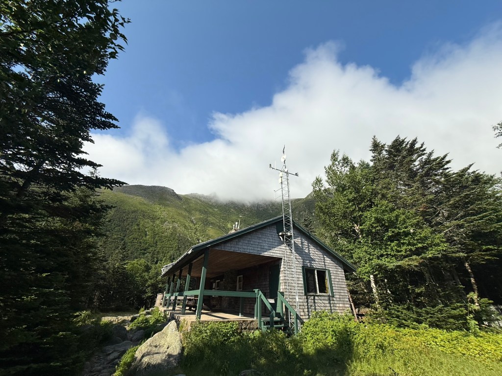
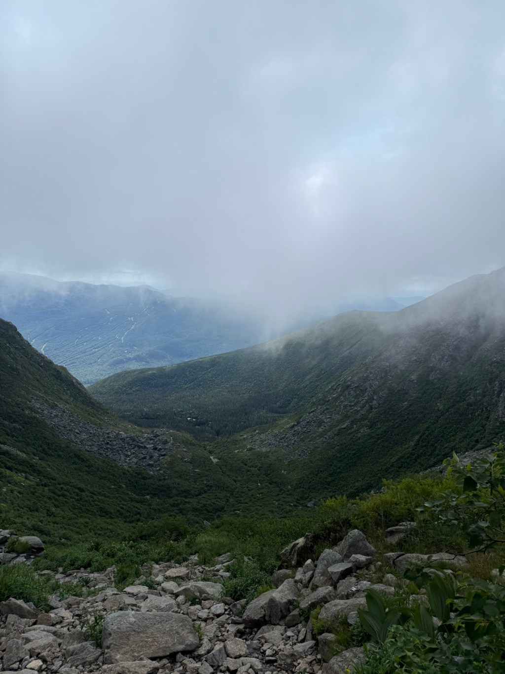
We were feeling good at this point though and warmed up, so we passed through it. At this point, the elevation does start to get steeper so I took out and started using my trekking poles. The next mile you go through over a thousand feet of elevation gain and are rewarded with an amazing view point of the Tuckerman Ravine (3.5 miles from the trailhead)
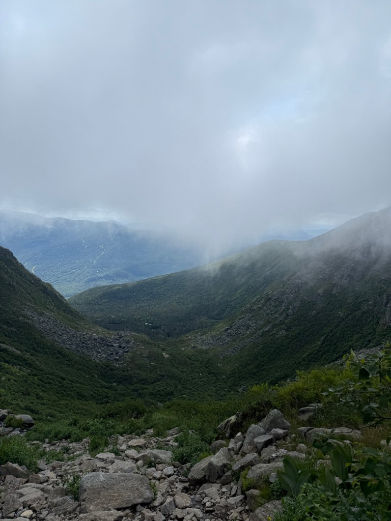
A half mile after this you will have reached the “alpine zone”. If you don’t know what that is, it is the point in a trail where there is no more tree coverage and you are completely exposed to the elements. From this point on you will slowly feel the winds more and more the closer you are at the top.
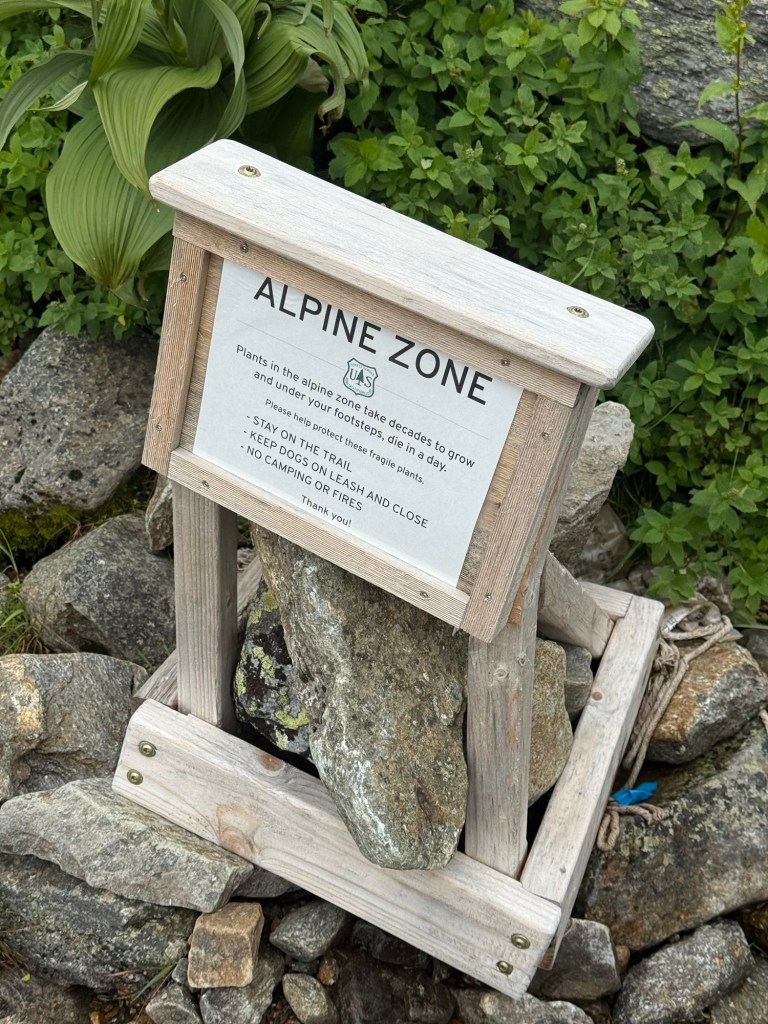
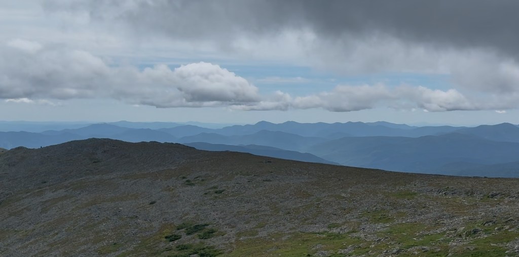
From here on you may encounter some spots with slight scrambling. Near the top of the mountain are some small streams from little waterfalls that can make some areas slippery. There are also some thin sections with a steep drop to the side. The difficulty overall just goes up after the alpine zone starts. I took out and wore my wool face cover and outer shell here and there when the wind got really bad. Me and Aaron had moments where a big gust would come in and as we were moving it would almost knock one of us down. It sucks mainly when you hit a section where you have to make an awkward movement and then the wind comes in and knocks you over. When you get near the summit it is very rewarding with the view you get of the surrounding mountains.
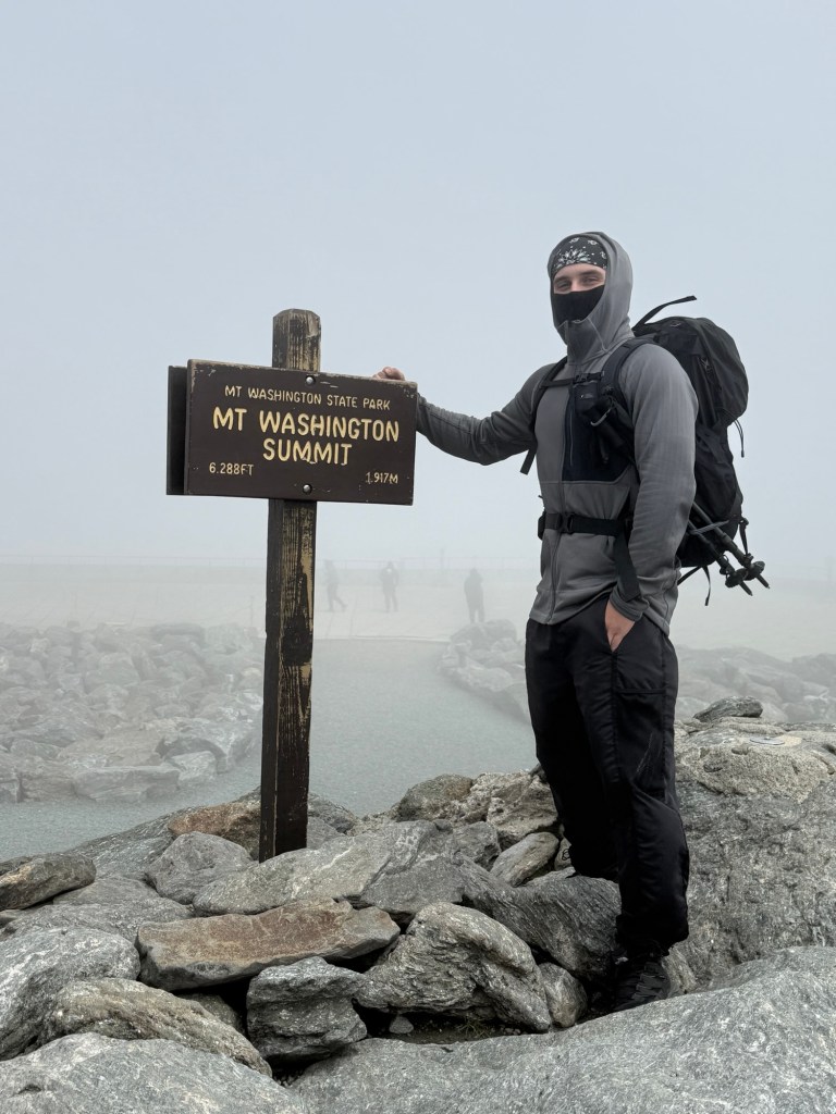
When you get to the summit there is a big parking lot and a building with a cafeteria and gift shop. This part of the mountain gets talked down a lot, but it was really nice. They have warm hot cocoa, coffee, and food. I was pretty cold at the top so having warm food was nice to get my body temp back up and to get some calories in my system. Going up the mountain and all the way back down I burned 2,915 calories. Taking a photo next to the summit sign can be bittersweet because it is a long line and a lot of the people taking photos with it just drove to the top. Looking back now though, it is cool for those that dont have family members that can do the trail meet them at the top to experience the summit with them. Finally getting that summit photo is rewarding.
The way back down can feel very long and there were spans of time me and Aaron didn’t talk because we were both locked in on getting back. When you get past the steep elevation you’ll start to feel it in your shins and it is NOT the best feeling. After completing this trail, you will feel like a whole new person. It’s something between “I JUST DID THAT” and “I SURVIVED!!!”. If you ever decide you want to go up this mountain, go for it. Just make sure you are ready both physically and prepared with the right gear. I celebrated like anybody else would after completing that challenge…
 Travel with Dom
Leave a comment