June 6th, 2026
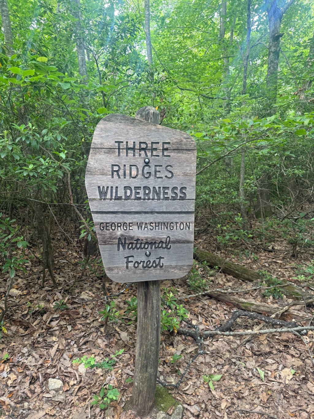
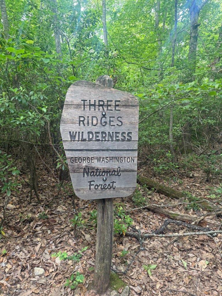
This is easily one of my favorite trails I have done. Three Ridges is located in Nelson County, Virginia. The trail is 14.27 miles and 3,917 ft of elevation gain. It is a loop that runs along the Appalachian trail. The ‘three peaks’ in it are Meadow Mountain, Bee Mountain, and Chimney Rock. I started at the north entrance at Reed’s Gap, it has a decent amount of parking. The parking is free, I made sure to start early at 7am to secure a spot. From Reeds you will take the trail into the woods for about 1.7 miles until you reach the Maupin Field camp site. There are lots of spots to camp here if you decide to make this a multi-day hike. There are other camping spots along the trail. At Maupin Field you will be met with the Three Ridges trailhead sign.
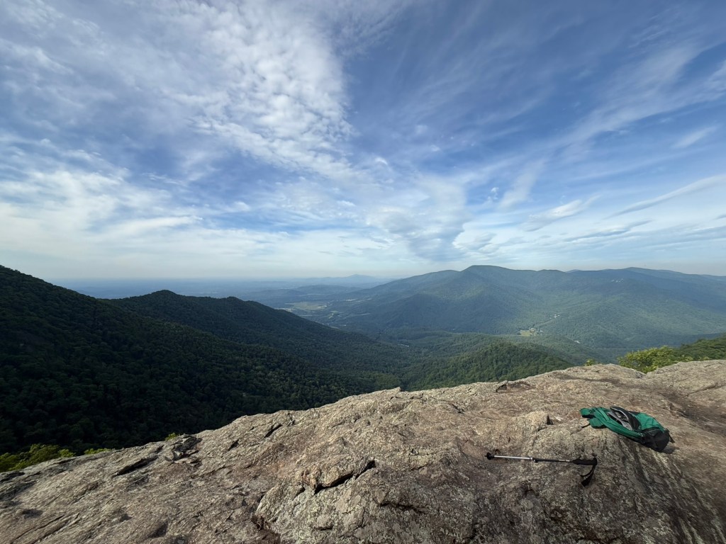
A half mile after the sign you will reach the Bee Mountain peak. The trail from this point on starts to get very epic with the views and difficult. A mile and a half after Bee Mountain you will be met with an insane view of the surrounding mountains, the main view people do this trail for…
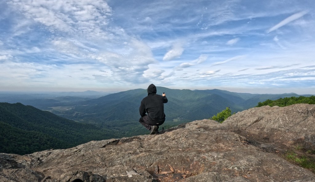
0.8 miles after this viewpoint you will hit the peak of Three Ridges, being 3,965 ft of Elevation. 1.2 miles after the peak you will reach the Chimney Rock peak that offers an amazing viewpoint of the surrounding mountains.
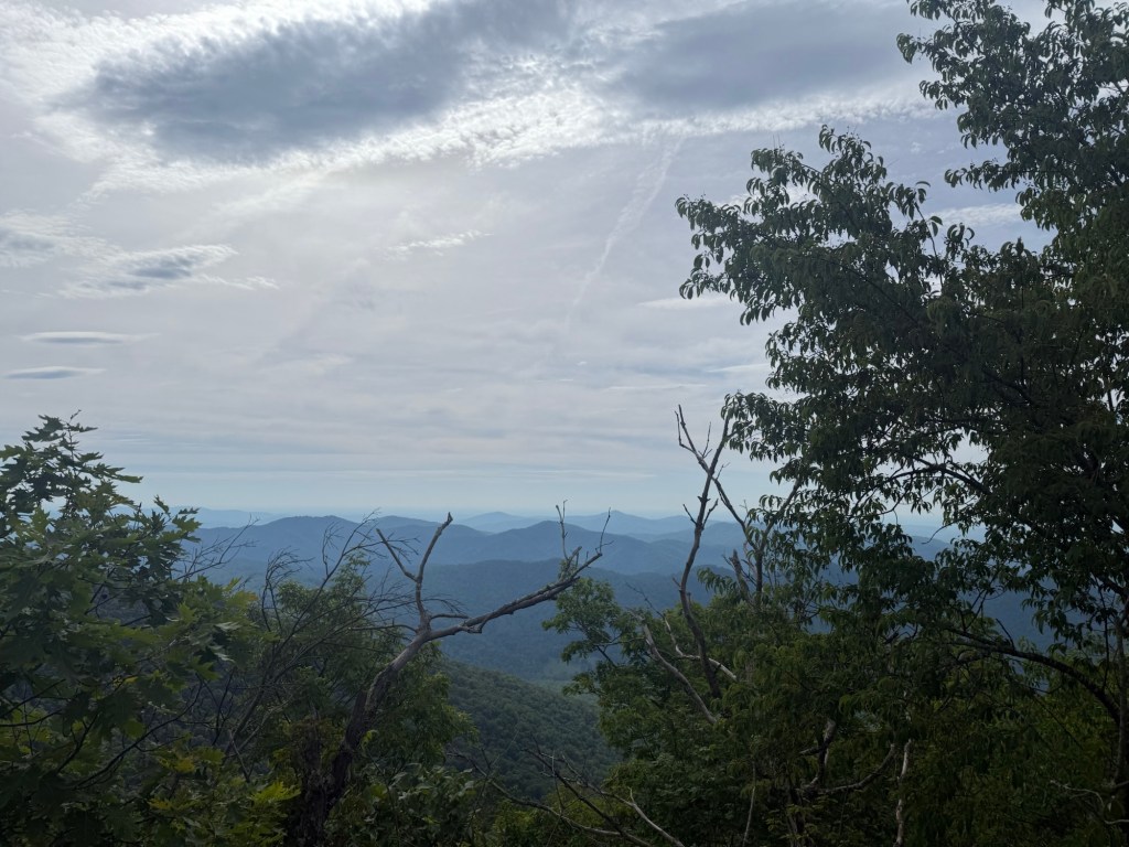
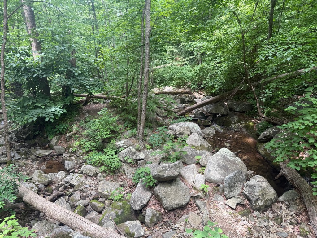
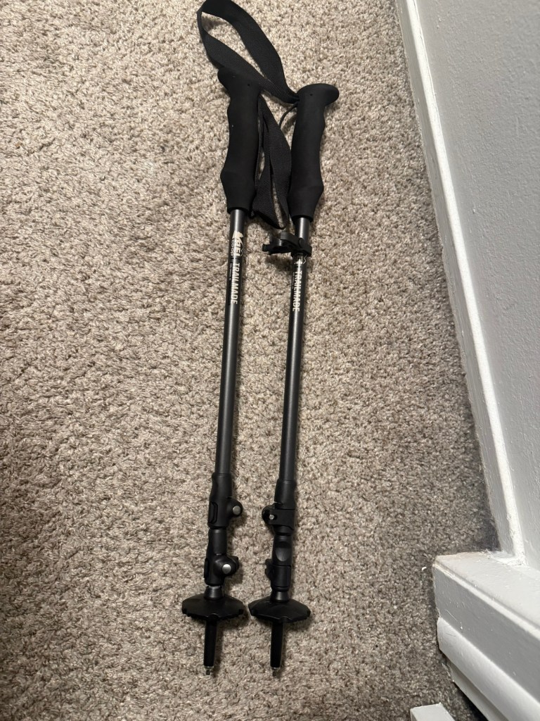
The next 2.5 miles is steep decline and can be a lot on the shins. Something I highly recommend for this trail is trekking poles. They will help your knees on incline and shins going down. At the end of the 2.5 mile decline you will reach Harpers Creek with a nearby cabin. The creeks on this trail all have little waterfalls which is a cool sight to see. I did this trail on a humid day and the creeks were my best friend with splashing water on my face to keep a cool head. Harpers Creek is the lowest point of the trail so over the past three and a half miles you do around 2,200ish feet of straight decline. At this point my legs were starting to feel it so I started taking some breaks here and there. The next 2.4 miles you will go over a small hill and be met with an awesome camp site location next to the Campbell Creek. I stayed here for about 20 min to rest and actually bumped into someone doing the Appalachian trail. They used a water filter to drink from the creek, which was pretty cool to see I cant lie. The water does move pretty good in Campbell, it has a few small waterfalls.
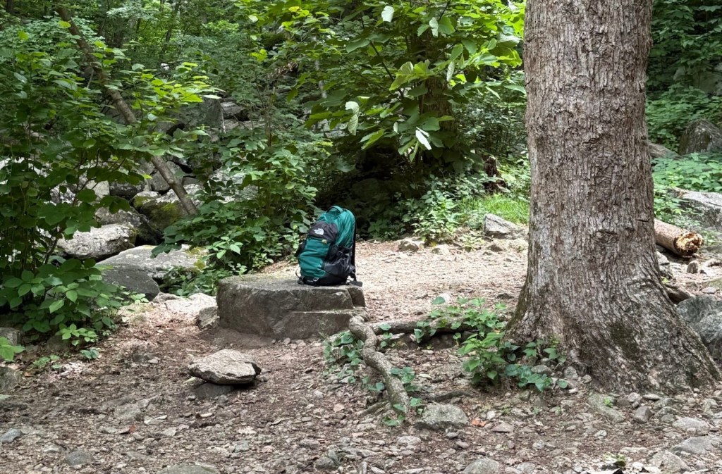
The next 2.7 miles are pretty brutal. At this point you are tired, have sore legs, and have to go up around 1,300 feet of elevation. Right at Campbell Creek before this, I ran out of water. So this physical challenge also became a mental nightmare. I packed 40 fl oz of water, so I recommend bringing more than that (maybe like 60-70). After this last incline section you will have returned to Maupin Field and just have the last 1.7 miles back to the parking lot. This trail is an experience. I did this solo and I definitely walked out of it a different person. Doing it in a day will really test you and completing it feels like a REWARD. I did this while staying in Roanoke for 4 days and there are plenty of other things to check out nearby. If you are thinking about doing it…
Make sure you are fit for the elevation gain and distance, bring trekking poles, have hiking boots or shoes, bring snacks, a lot of water, bug/tick spray, layers for morning and for when it gets warmer. I recommend bringing bear spray too just in case. It’s said that they are being seen more often in the area.
 Travel with Dom
Leave a comment